Oregon Coast – part 1

It’s not really very far from Grants Pass to the Oregon coast, but Rogue River National Forest lies in the way, and there are few good (that is, fast) ways through the forest, so we swung south and skirted the National Forest via the Redwood Highway (Rt. 199). This actually takes you a little way into California, but it only took about three hours, and it brought us into Oregon at the absolute southwest corner, which meant that we were able to follow the Coast Highway (101) all the way from the southern border to the Columbia River. And we got to see redwood trees growing right up against the side of the road as we entered California!

In terms of this trip, we took a relatively laid-back pace and gave ourselves three days to make it all the way up the coast.  I was fascinated by what we saw, and could easily have spent several days at any number of the spots we visited. We overnighted at Gold Beach, Newport, and Astoria. Some of my favorite places along the way included Harris Beach State Park, Meyers Creek Beach and Pistol River State Park, Haceta Head, and Ecola State Park, but these few names don’t do justice to the dozens of beautiful viewpoints and parks we visited. Rather than give a detailed commentary, I’ll just show a few photos to hit some of the highlights.

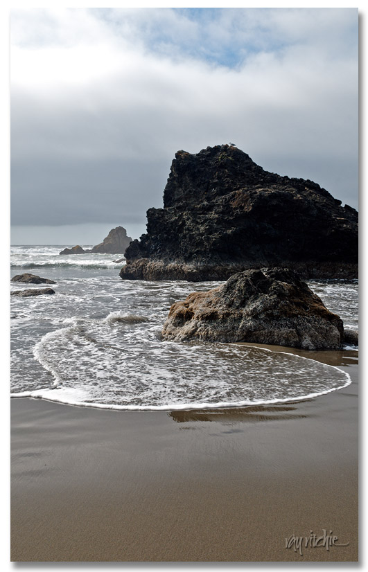
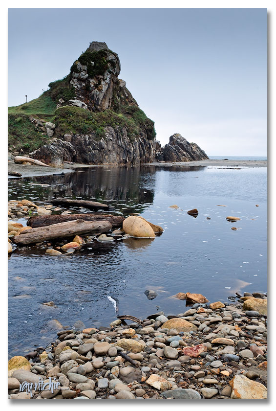
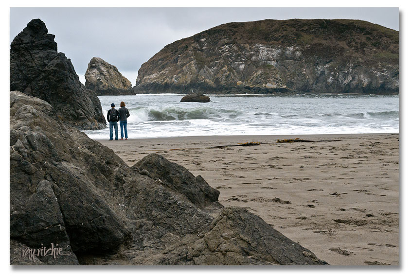
Harris Beach State Park was our first stop, and our introduction to the seastacks, rocky beaches and cliffs, tidal pools, and mountainsides that met the sea:

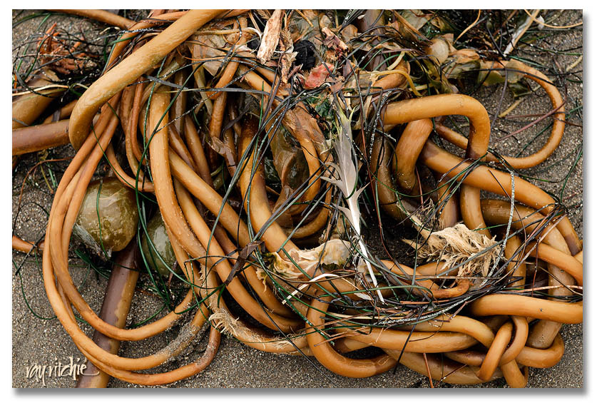
“Kelptic” knotwork was everywhere:

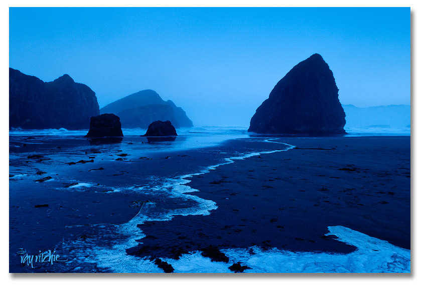
We spent our first night on the coast at Gold Beach, just a few miles north of Meyers Creek Beach in Pistol River State Park, and I got up early the next morning to shoot some sunrise shots there. Here’s one of my favorites:

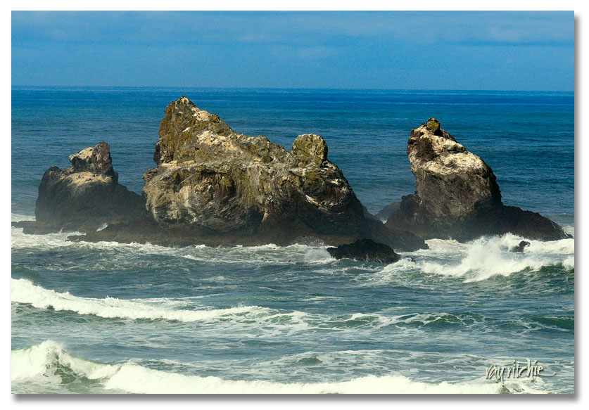
We moved on up the coast to Bandon Beach, and each new area of seastacks seemed more fascinating than the last to me.
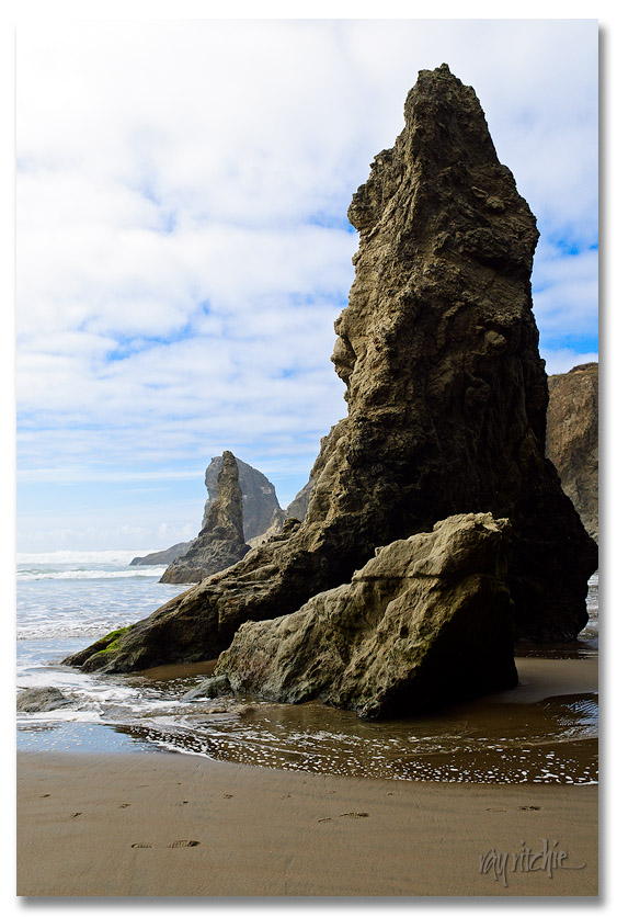
This set of stacks is called the Seal Rocks:
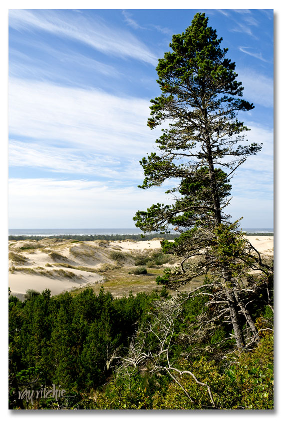
Leaving Bandon Beach, we stopped briefly at one of the two parts of Bandon Dunes National Monument, where the character of the beaches changes completely, from rocky seastacks to pine forest and dunes everywhere:
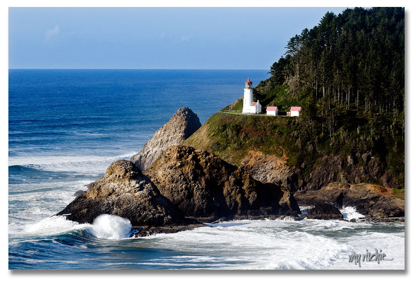
Moving on up the coast, we passed Haceta Head:

We stopped that night at Newport, and before going out to dinner we went out to Yaquinta Point for the sunset:
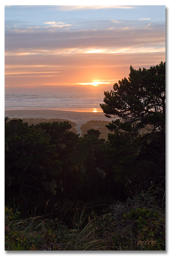
I have literally hundreds of shots from this trip, and can’t begin to show them all in blog form, so I’ll put up more on Flickr later. I’ll finish up the trip in my next post, and then we’ll go back to some lettering topics.

Shots from Seattle and Mount Rainier are already up on my Flickr stream (see link at right).

Crater Lake

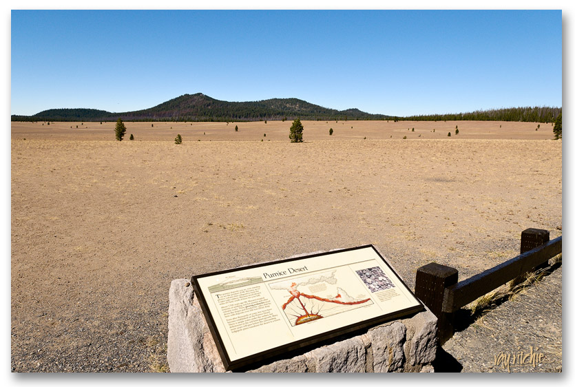
Our visit to Crater Lake was a reminder to me of how our memories can be altered by subsequent events. I had visited Crater Lake before, when I was around 12 years old, and in my memory I saw dense evergreen forests surrounding a deep blue lake. The deep blue part was right, but the surrounding evergreens were a bit of an exaggeration, probably colored by many photos and postcard views I’ve seen since I was actually there with my parents and family so many years ago. As we learned by driving in the north entrance (closed in winter, again – we’re slow learners), the overall Crater Lake landscape is fairly barren. In fact, before you reach the lake from the north, you have to pass through an area known as the Pumice Desert, which looks like this:

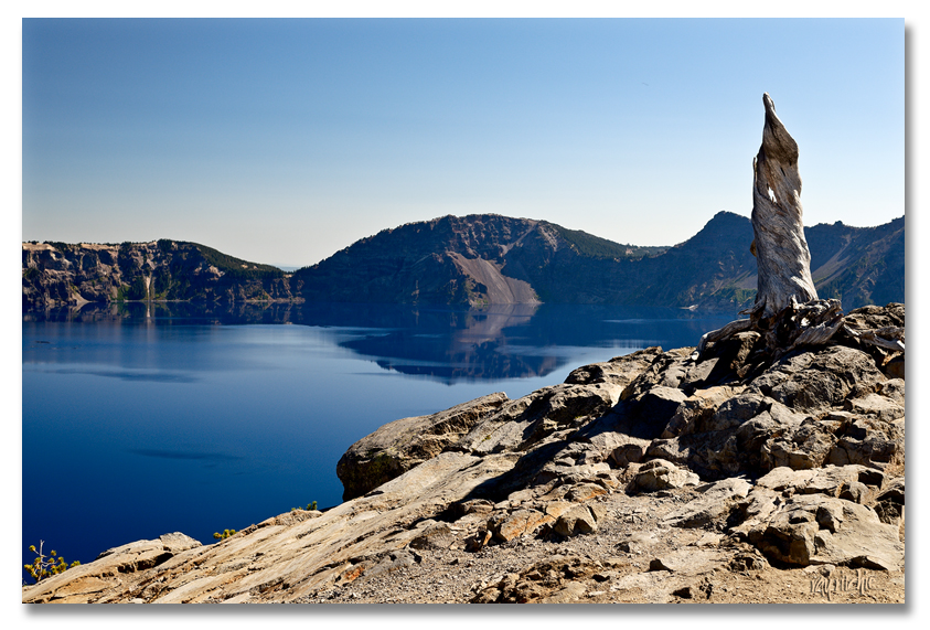
The volcano from which  Crater Lake was formed, Mount Mazama, erupted 7700 years ago, and the pumice deposits in this area are still 100 feet deep. There are so few trees, not because there is no water (there’s actually plenty below the pumice), but because the soil has almost no nutrients, even today. After a few miles on another climbing and winding mountain road, we arrived at our first view of the lake itself:

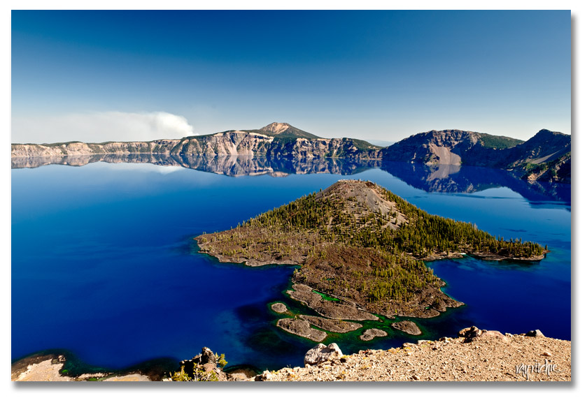
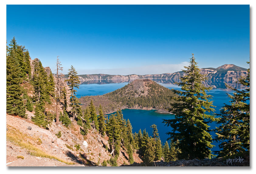
Driving counterclockwise around the lake (the wrong direction unless you enjoy driving with dramatic dropoffs to your right side), we went through several views of Wizard Island, the only significant body of land in the 5-mile diameter lake, gradually changing from completely barren to somewhat forested:

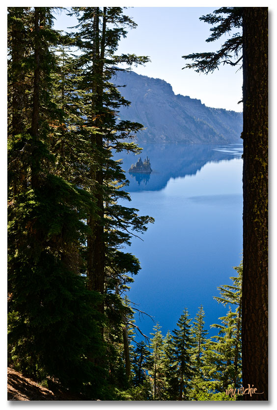
In the first photo above, you can see a plume of smoke on the horizon. We were puzzled about this, and I checked various websites afterwards to see whether it might have been steam from one of the other volcanoes in the Cascade range, but there was no mention of any recent volcanic activity in the area. From reading various National Forest Service bulletins later, I finally concluded that there may have been a controlled burn of forest undergrowth going on. We stopped at the Village for a short break, and then decided to continue around the lake until Anita’s nerves gave out. Somewhere around the last overview of the Phantom Ship (a small island of spiky lava spines), we were met by a huge RV hugging the center line, and decided that we’d had enough tension for the day. This was the last viewpoint we visited:

Finally, at this point on the eastern side of the mountain, we were looking at the lake through dense forest, echoing my dim childhood memories. But I don’t think my family ever got to this overlook on that trip, so I’m not sure my memories are real. I found Crater Lake to be breathtaking, but almost sad at the same time. Like Mt. Rainier, this was another place where we’d have enjoyed staying in the park, to get a fuller experience with sunrise and sunset views and some hiking around, but I had been checking the park website for months, and all the lodging was showing full – which was still the case when we got there. We followed the Rogue River back to the Interstate, and found a room for the night in Grants Pass, where at least we’d have a head start on the next day’s journey to the Oregon coast.

Mt. Rainier

We were very lucky, or I might even say “blessed,” by wonderful weather during the trip. In 10 days in the rainiest part of the country, we only really got rain one morning. But as we set off from Seattle for Mt. Rainier, we didn’t know that would be the case, and we were a little worried, as Seattle was foggy and overcast, and that continued to be the case throughout the morning. But as we neared the mountain around noon, suddenly the clouds lifted, and we had a gorgeous view; the rest of the day was crystal clear.

We stopped in Ashford to book a room, and the clerk there recommended we have lunch at Copper Creek Inn, where we found another semi-calligraphic expression:

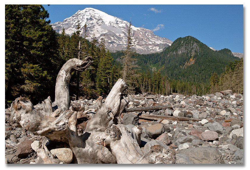
Shortly after entering Mt. Rainier National Park, we pulled over at a viewpoint and took a trail down onto the riverbed of the Nisqually River. Here’s one of the views from there (as with most of the images on this blog, you can click the image for a larger view):

Over and over during the trip, we were awed by the forces of nature -it’s almost incomprehensible to think of all the glacial action and flooding which has taken place over the millenia to leave a debris field like that.

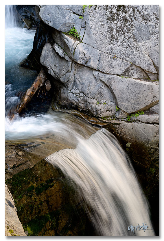
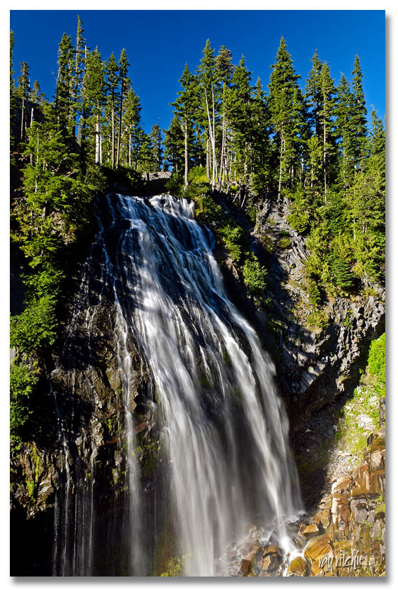
With stops for views and photography, it took us two or three hours to make it up to Paradise, which is the site of the main visitor center for the park, and the highest point you can reach by vehicle in this part of the park (Before entering the park, we passed Faith Baptist Church, whose motto was “If you want to make it to Paradise, you have to go by Faith”). Among the sites on the way were : Waterfalls

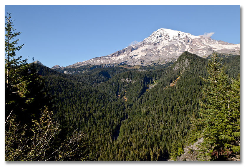
and one spectacular view after another of Mt. Rainier itself,

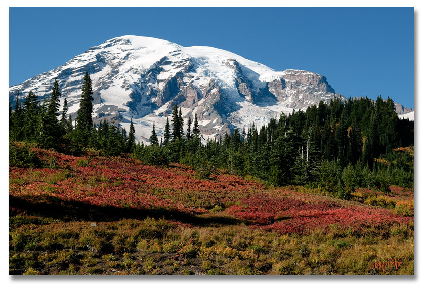
which was finally culminated by this view as we arrived in Paradise around 4:30:

In the light of the evening sun, the hillsides looked literally ablaze with reds and oranges. It would have been great to stay in one of the park inns and take time to hike some of the trails, but the park lodging was all booked up (which was why we had stopped in Ashford), and so we returned to Copper Creek for dinner, and then went to bed (no cell phone service, no landlines, no TV) so we could get an early start on towards Mt. St. Helens the next day. We were worn out, but overjoyed that the trip had gotten off to such a good start.